As I reported here
It happens that some disused railway lines have been used to create cycle paths.
That's the case for the pathways that connect the town of Vignola to the city of Modena that is around 24 km long (some guide says 28, but depends on where they consider the beginning from the city of Modena) and was built on a disused railway still active until the beginning of the '70s.

Even if it is not along the main path of the Eurovelo network, it could be considered a variant of the Eurovelo Sun Route n. 7 that connect NordKapp (in Norway) with Southern Italy and (of course by boat) Malta.

The cycle path is all paved and separated by car road. It passes either urban areas or countryside.

Sometimes it is possible to have a meeting with alien creatures that don't want to take selfies with us.
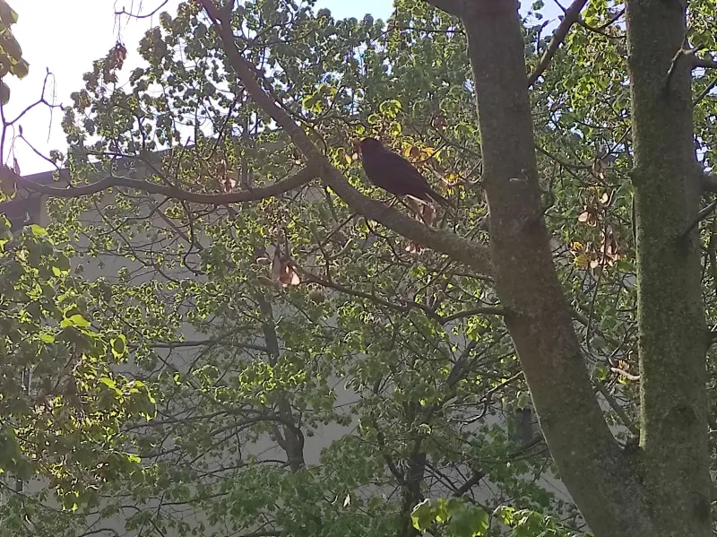
Depending on the season, trees and shrubs may be in bloom, green, or leafless.

The colors depend also on the type of plants: some of them have not only colored flowers but the leaves.

We are at Km 18: the town of Spilamberto (the central urban area) is at 1 Km, while the Vignola Train Station where the bikeway starts is at 6 km).

Passing through either urban areas or countryside, the landscapes can change suddenly.

Some stretches (either very long) are illuminated so that it is possible to bike or hike during the night. (Not in this period cause of Covid19 restrictions there is a curfew at 10 pm).
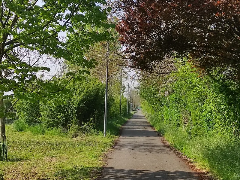
All images were taken by me with the smartphone camera during a half an hour hiking (more or less 3 Km roundtrip).
About the town of Vignola I have already written here.