A Geopark is a park of outstanding geological heritage, recognized as such by the European Network and the UNESCO Global Geopark Network. Its purpose is geoconservation, education for sustainable development and tourism.
In the Arouca Geopark, recognized in 2009 by UNESCO, the Castanheira Parideiras Stones, the Giant Cinnamon Trilobites and the Paiva Valley Iconofossils stand out. But the inventoried heritage totals 41 geosites, that is, sites of geological interest that stand out for their uniqueness and value, from the scientific, didactic and tourist point of view.
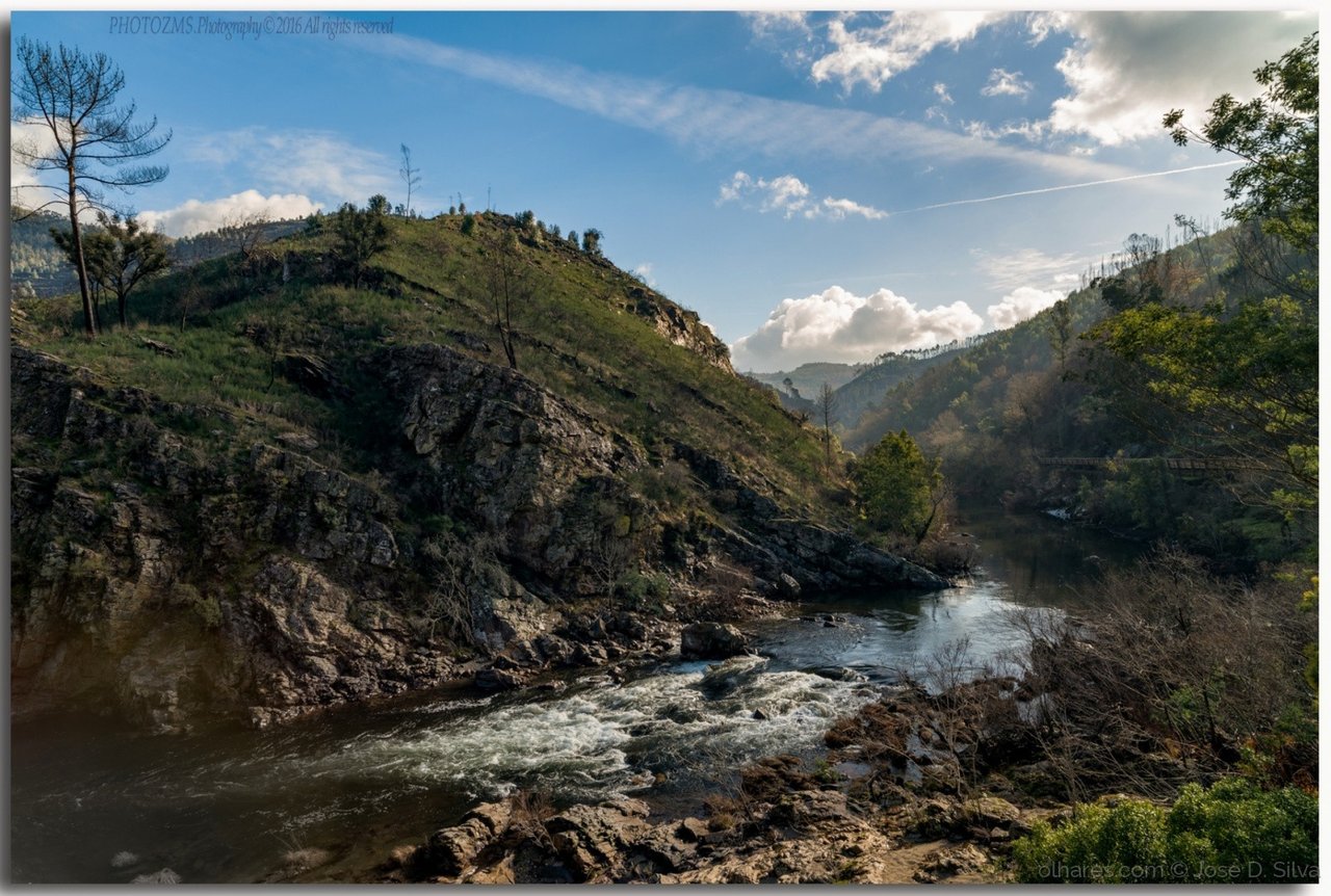
This true open-air geological museum, with an area of 328 km2, is surrounded by the Serra da Freita, Montemuro and Arada mountains and traversed by several rivers, offering excellent conditions for various activities such as canyoning, canoeing, kayaking and climbing. 3 zones of the Serra da Freita. And in the Paiva River Rapids we find some of the best places in Portugal for rafting and kayak-rafting.
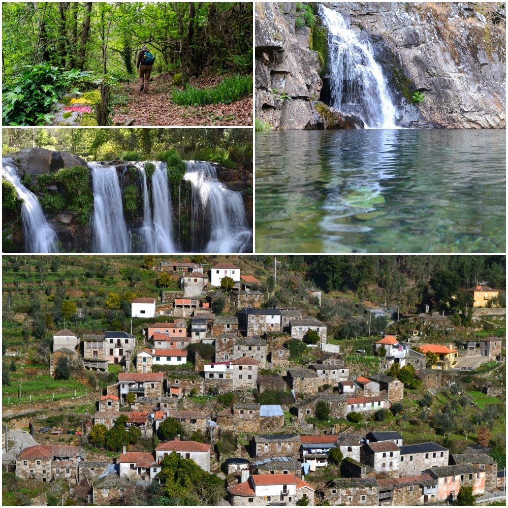
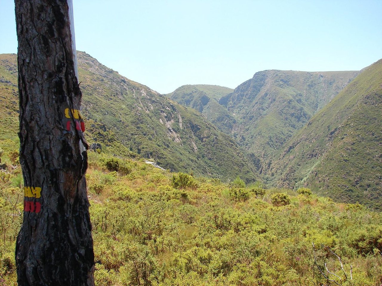
In order to fully enjoy these landscapes, the Geopark has defined a network of 14 walking routes, 13 of which are short route and one large route, all properly marked. Fourteen of the geosites are along ten of these paths.
At the Canelas Geological Interpretation Center, located on Schist Route, there is a collection of giant trilobite fossils. These marine animals, about 465 million years old, benefit from international projection because they are the largest specimens of trilobites in the world.

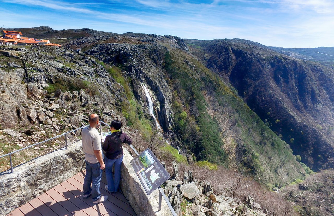
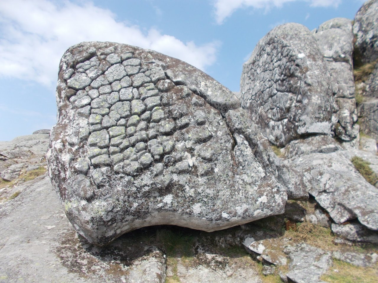
Next to the village of Castanheira in Serra da Freita, is another geosite, unique in the country and very rare worldwide. These are granitic rocks with inlaid discs that, due to erosion, break free from the mother stone, so they are known as Parideiras stones. In this mountain range, besides the great variety of flora and fauna, we also find the Frecha da Mizarela geosite, with a waterfall where the Caima River precipitates from a height of about 75 meters. Not far away is the Junqueiro Boroas Geosite, two granite blocks that resemble corn boron.
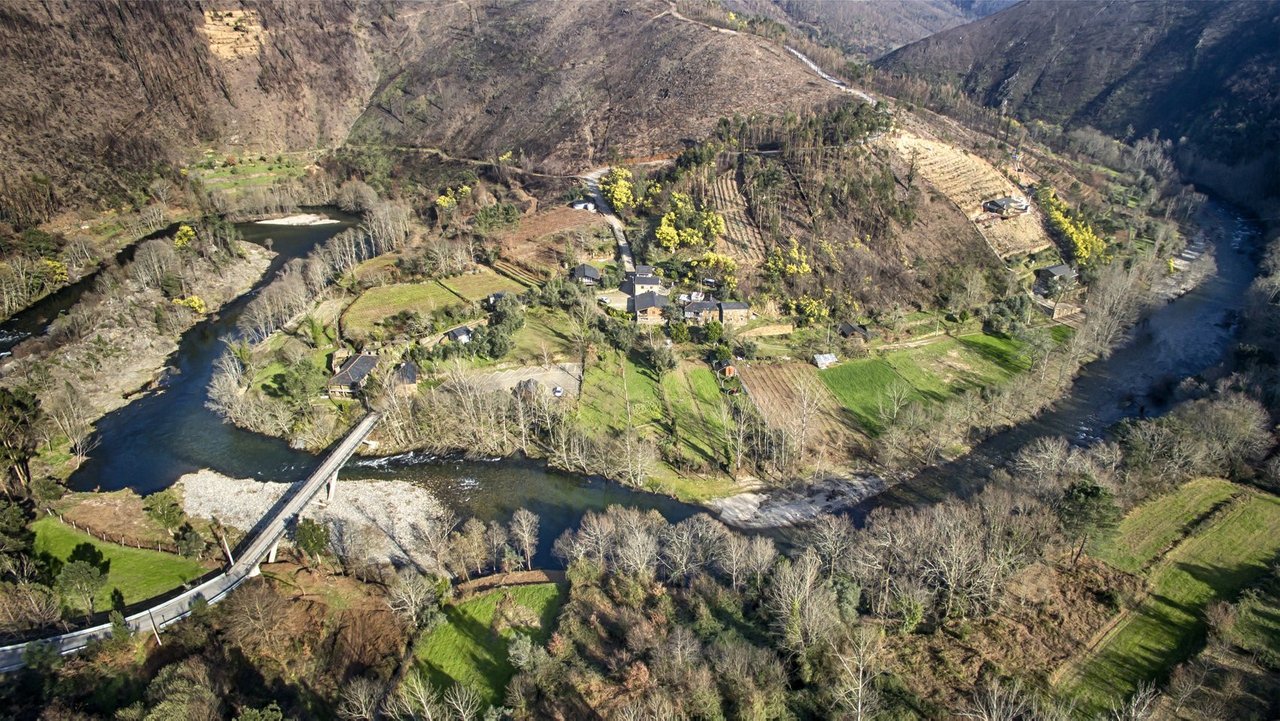
With half of the territory classified by the Natura 2000 Network, the entire Geopark is an elected place for nature tourism, with river beaches and traditional villages worth exploring. This is the case of the villages of Castanheira or Cabaços in Serra da Freita and Janarde or Meitriz, with river beaches on the Paiva river, such as Paradinha.
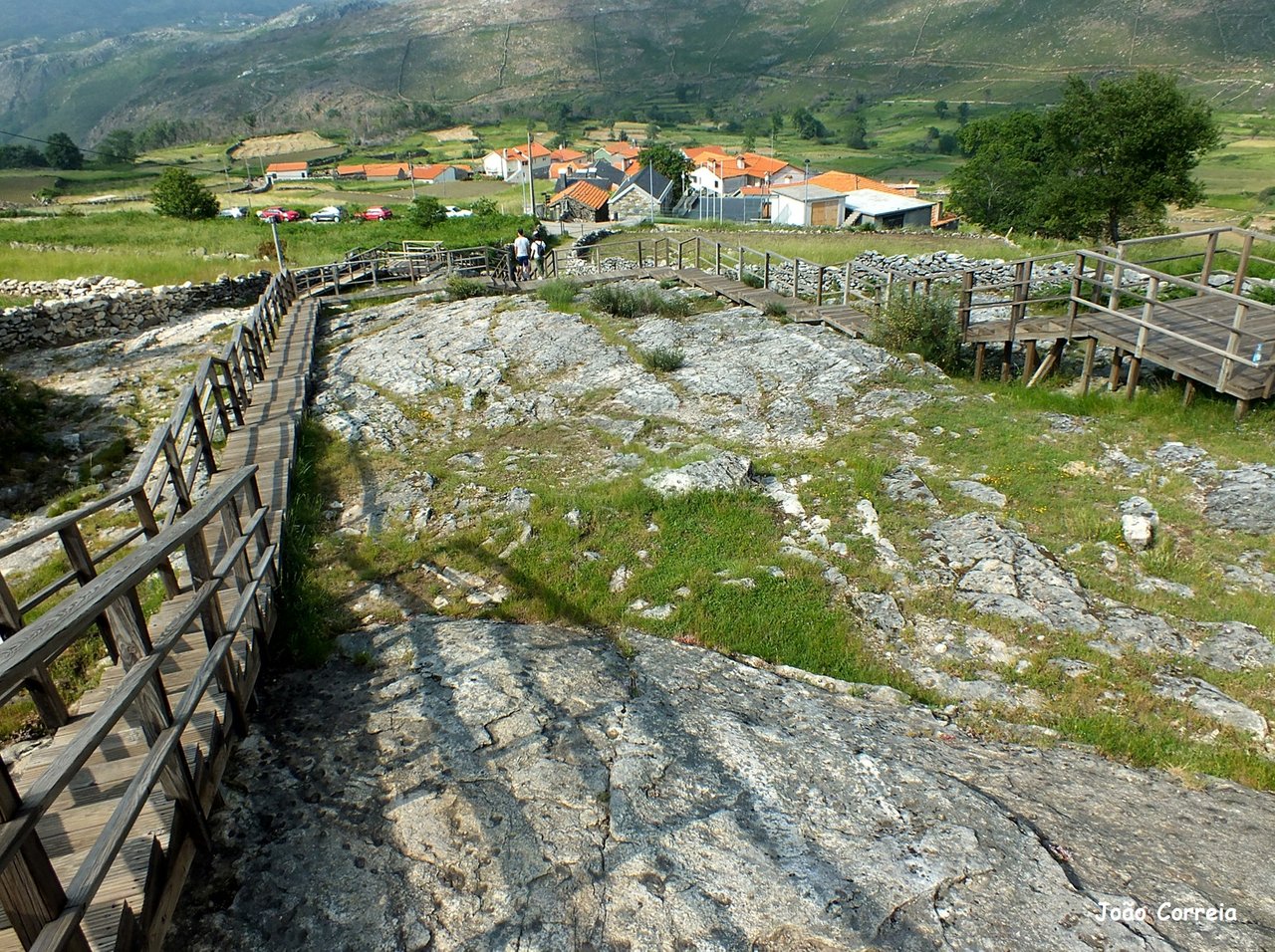
Village of Castanheira
Geopark Arouca
But we also have the possibility to discover historical-artistic places worth visiting. In Arouca it is worth visiting the Monastery and the Museum of Sacred Art installed there, or the chapel of Mercy. And 8km from Arouca we have the Geosite with the Panoramic of Senhora da Mó, which owes its name to the wide view that offers the valleys and hills around, and where is the small chapel of Senhora da Mó.
It is still worth mentioning that this territory is also populated by old tungsten mines, which are as many geosites: from the Ouro Negro route or from a panoramic point, can be seen the underground mining mines in the area of Pena Amarela, the old Minas de Rio de Frades where it is still possible to do about 400 m in the Cerdeira Valley Gallery and next to the village of Regoufe is the Poça da Cadela Mineiro Complex.