It is pretty old news but its a fun fact, even though it posses security threats.
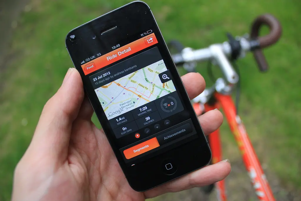
This happened back in 2017 when a fitness tracking company named Strava released a mab of its usage around the world. Like i said with google maps in my post this one is pretty similar, the tracking function in the application allowed strava to collect real-time data when you are exercising.
Literally, it knew the distance you ran, at what time of the day, the path you ran, the time is taken, and odd stuff. The company used it to point out its user base which was actually huge.
Trouble came when someone used this map pointing out markings in the deserts or no man's land. When strive plotted the map it looked like they had a presence all over the world. actually, they did, when someone zoomed into those markings he saw outlines of structures.
It didn't take much for the tech-savvy people to realize that they were military bases or outposts. An some of them didn't exist in public records.
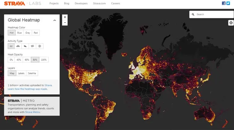
This is how it happened: most of these bases had foreign military personnel who were using strava to track their fitness, nothing wrong in that. But these servicemen didn't bother to remove the tracking option, so every time they took a lap around their base the app updated real-time feed into its servers. When there was a bunch of people in each base who used strava, they just drew up a blueprint or literally an inside map of the most secure and secret places.
If you are interested to get more information like this, don't worry. you just have to follow us here.