A few photos and attractions from the history of the Sunday walk
Rezkův Mlýn (Rezek´s mill)
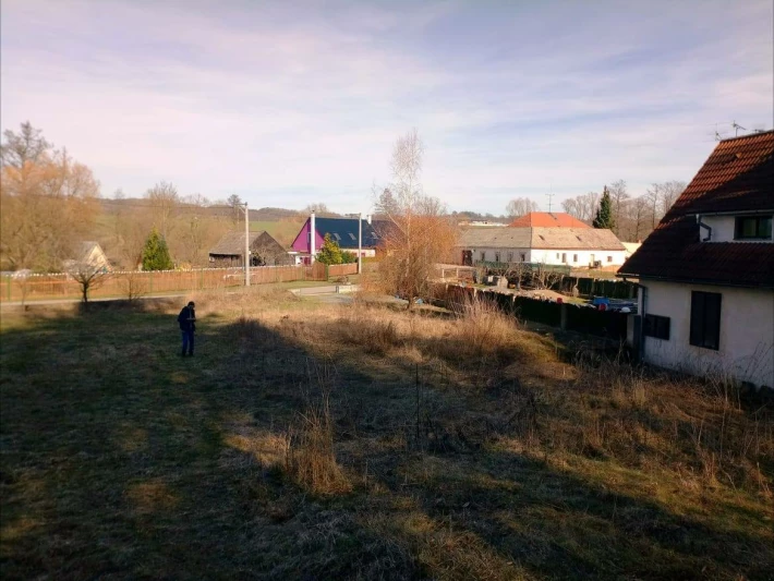
The first written mention in 1804 by owner Jan Rubeš
However, it is already recorded on the map - the first military planning from 1765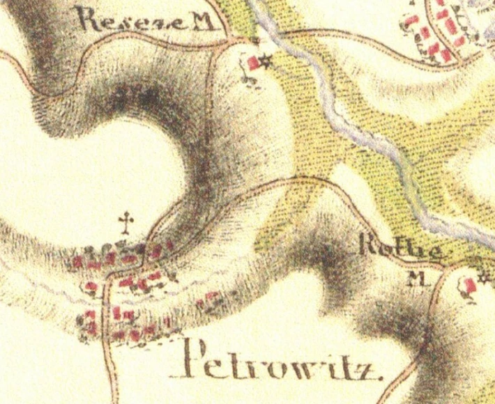
year 1946
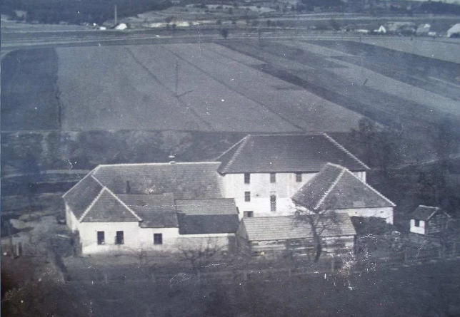
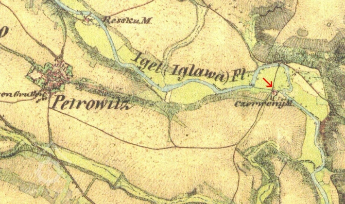
Another stop was the Červený mlýn(Red mill)
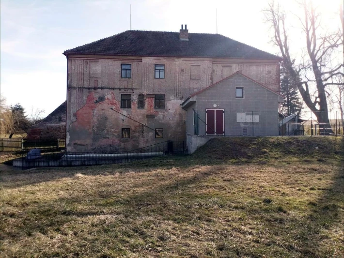
This is also the first mention of 1804, when the mills were registered for the purpose of drafting a new Charter of Rights and Freedoms. In the years 1792–1835, Francis I was King of Hungary and Czech and Margrave of Moravia, in 1804–1835 Emperor of Austria and as Francis II. in the years 1792-1806 the last Holy Roman Emperor of the German nation
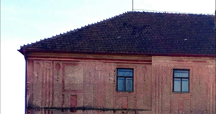
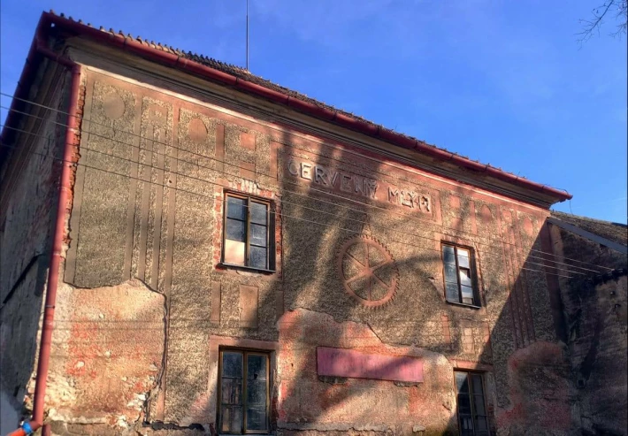
However, it is already depicted on the maps on the 1st Military Mapping from 1764-1768
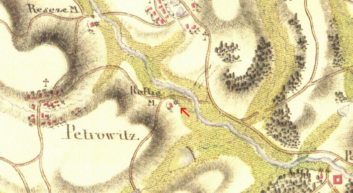
2 military mapping from 1835 -1865
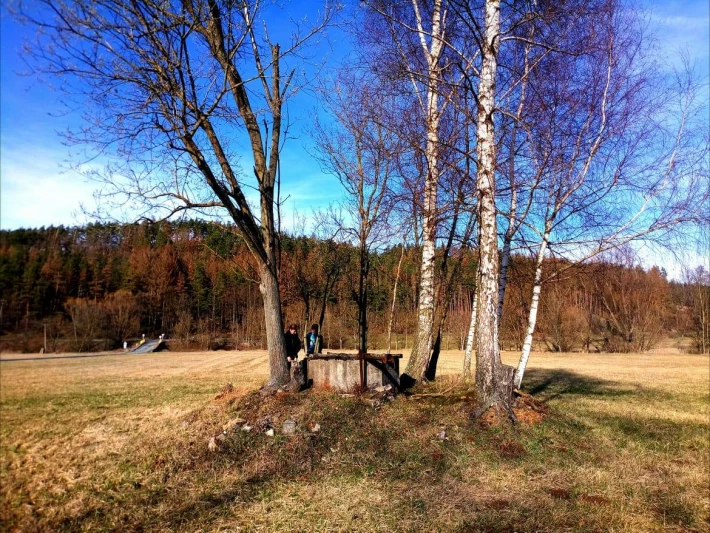
Well at the Red Mill, and we also found a hidden Geocaching
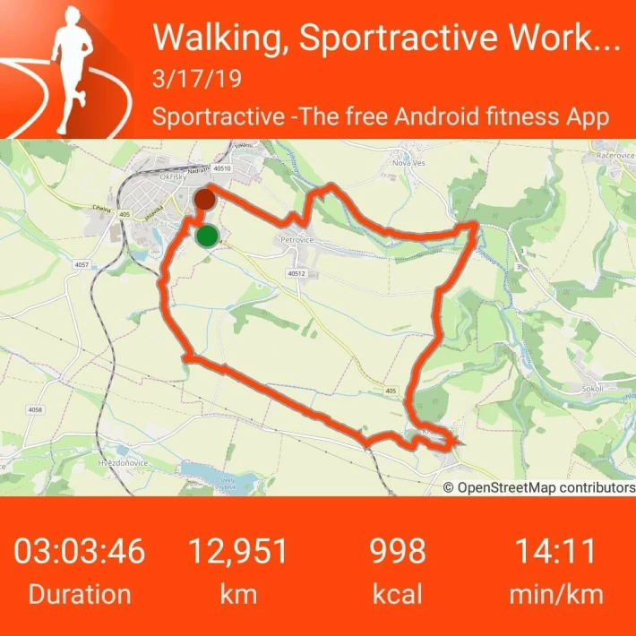
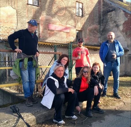
Our lineup this Sunday
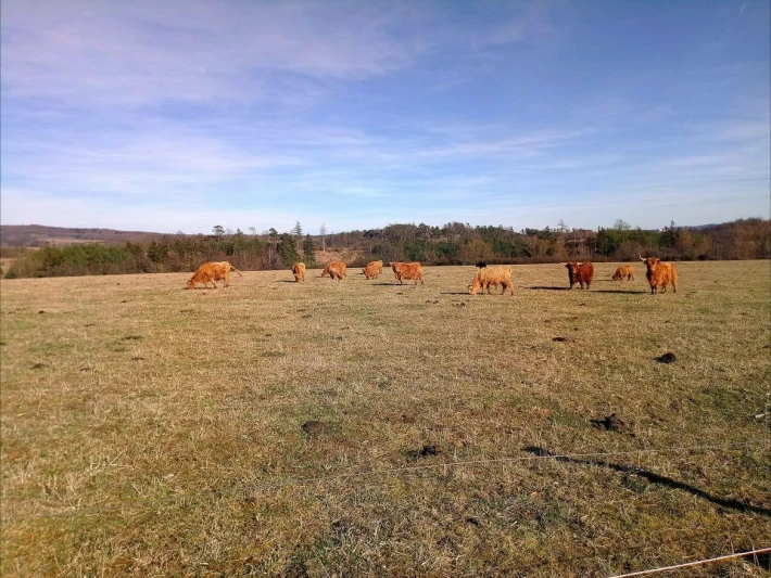
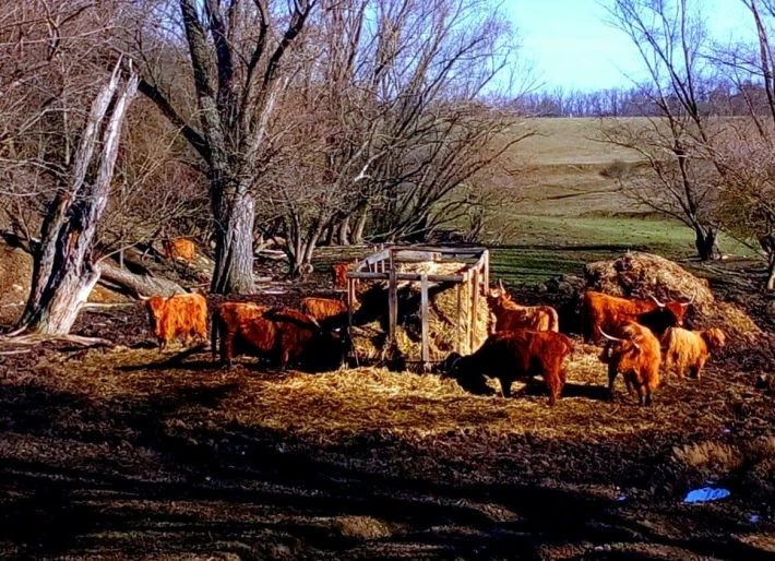
On the way to Krahulov we passed a herd of yaks (Bos mutus f. Grunniensis) is a domesticated form of yak wild.
He was domesticated in eastern Pamir and on the Tibetan plateau probably already in the 1st century BC.)
There is little to see in our lands
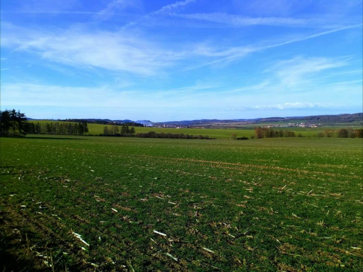
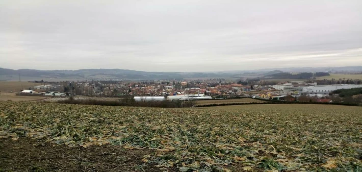
Photos along the way from Krahulov in the direction of Hvězdoňovice and in the far right Nová Ves on the left Petrovice
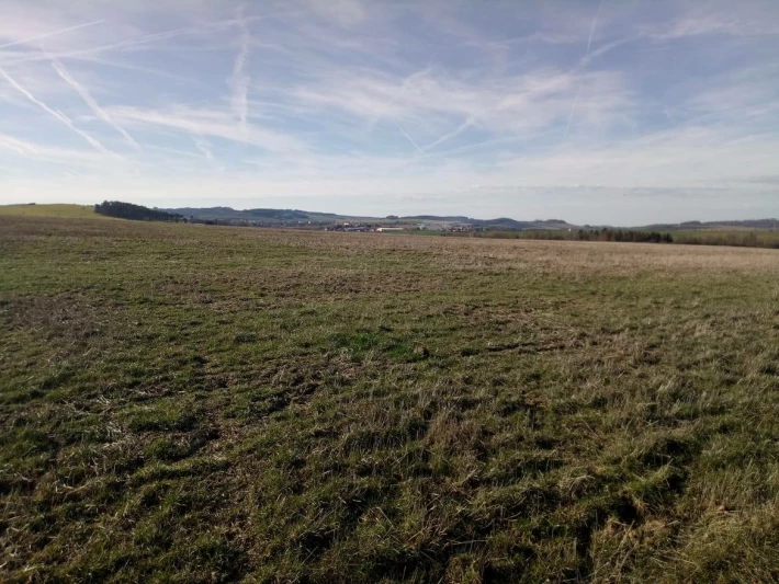
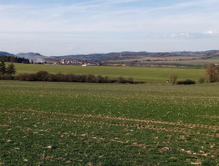
In the distance Petrovice and even the photo is not good it is possible to see the peak of Pribyslavice church
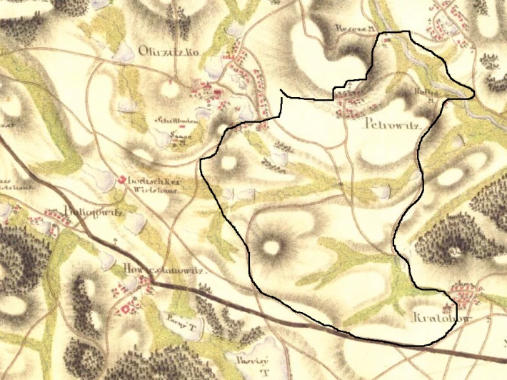
map of surroundings 1765 -
As the base of this survey the Müller's maps (transformed to the larger scale 1: 28 800) were used. Officers of the Military Topographic Service were riding through the country on horseback and mapped it using the "a la vue" method, which means that they simply observed the terrain and anticipated the distances. An officer was able to map the area of 350 square km per summer. The survey was not based on any net of precisely defined triangular points due to the financial and time limits of the work. This was the reason why there was not possible to complete the map of whole Austrian Monarchy from the individual sheets, also the lesser preciseness of the survey results of this factor.
The great attention was paid to the communications (classified according to the traficcability - e.g. the so-called imperial roads), rivers, streams and artificial gullies, land use (arable fields, hayfields, pastures etc.) and various types of buildings - churches, mills etc, all of which being significant for military purposes. Thanks to the different colors representing the individual landscape components (the maps were colored manually) they are easy to distinguish.
Together with the maps also military-topographical descriptions of the area were recorded, containing some information which were not the parts of the maps, such as width and depth of rivers, character of roads and trails, settlement maintenance etc. The material collected during the survey consists of 19 manuscripts for Czechia alone.
On the right side of each sheet you can find the list of settlements and columns prepared for filling the number of inhabitants, usable horses etc. On some sheets these columns are blanked, but the information can be found in the military-topographical descriptions mentioned above.
The importance of the Ist Military Survey lies not only in its preciousness (comparing to the previous surveys in Czech Lands), scale and detailed military-topographical descriptions, but also in period of its origin. It gives us the opportunity to view the area just before the beginning of the industrial revolution, in the period of the full bloom of cultural baroque landscape and its highest diversity.
http://oldmaps.geolab.cz/map_viewer.pl?lang=cs&map_root=1vm&map_region=mo&map_list=m061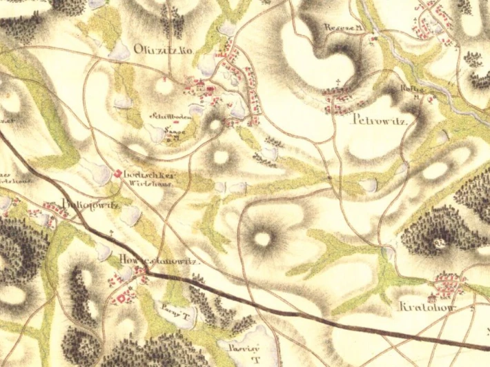
approximate route
II military mapping - 1836-1852
Contrary to the Ist Military Survey the IInd one was based on triangular net and also on the cadastral maps of Stabile Cadaster in the scale of 1: 2 880, therefore its precision is much higher. Beside the larger scale maps (1: 28 800) also the so-called general (1: 288 000) and special (1: 144 000) maps were produced.
The contents of the sheets are in fact identical with the previous work, with an addition of triangular point's altitudes, but the recorded situation is very different. The IInd Military Survey was carried on at the time when the industrial revolution was in progress and intensive forms of agriculture were being employed widely. The area of arable fields had increased of about 50% in 100 years and the forests of our country reached the lowest area in its history.
http://oldmaps.geolab.cz/map_viewer.pl?lang=en&map_root=2vm&map_region=mo&map_list=W_9_III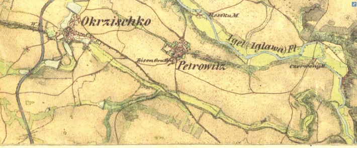
III military mapping 1:25 000 1876-1878
Since Francis's mapping was no longer sufficient for the Austrian monarchy's demands for accurate and, most importantly, up-to-date maps, in 1868 the Austrian War Ministry decided to map a new. http://oldmaps.geolab.cz/map_viewer.pl?lang=cs&map_root=3vm&map_region=25&map_list=4355_2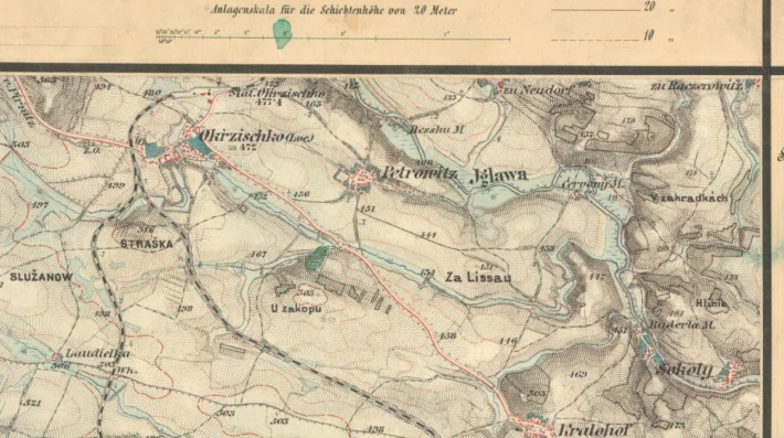
and version 1:75 000 -
The result of the mapping are colored so-called topographic sections, from which special maps (1: 75 000) and general (1: 200 000), which were already printed in black and white, were overprinted. Which are not accessible on the Internet.
Maps 1:75 000 used Czechoslovakia since 1914 to 1956
http://oldmaps.geolab.cz/map_viewer.pl?lang=cs&map_root=3vm&map_region=75&map_list=4355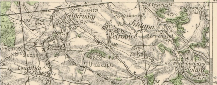
and finally a few photos Okříšek and slightly below the horizon I went through it :-)
cca 1936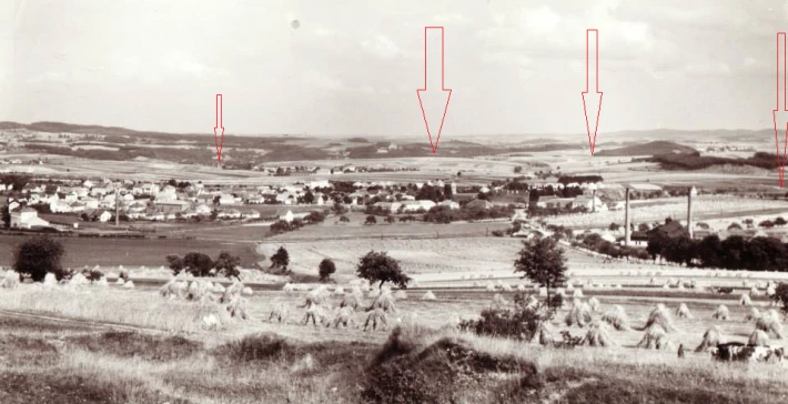
1939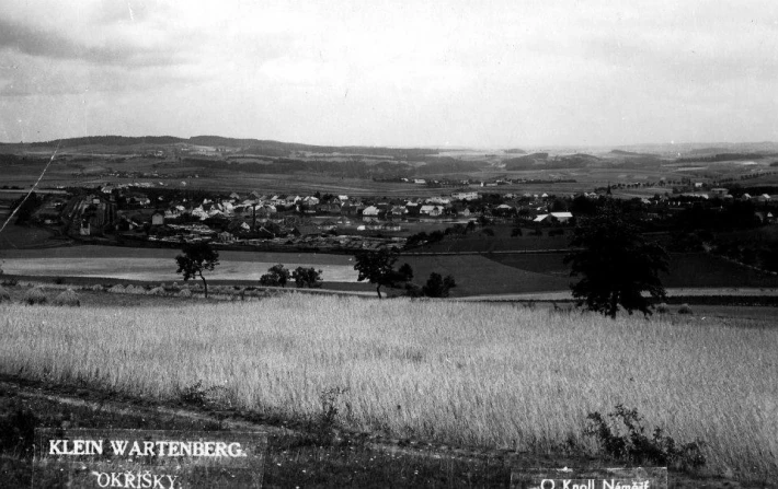
24.2.2019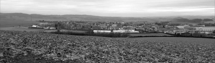
A visual demonstration of our Sunday trip from the application used by friends. Perhaps he won't be angry when I put her in -
https://www.relive.cc/view/g31725938476
BYE next walk
If you like the interactive post, give follow. Let's not miss another batch of photos and attractions from another walk.
Who would like to get a tip here or a little donate to Buy me coffe -buymeacoff.ee/oF42hLYan
or
Trx adress TFjtdqQ11uYWXf1uDUqzjZJf4hpzid8KRM
Follow Twitter - https://twitter.com/KendaHeralda
Can you support me that you -
Try Brave browser better as chrome and future internet - https://brave.com/ken959
if you already use Brave, support me with BAT tokens on my verified youtube channel - https://www.youtube.com/channel/UCHuuA4VEDlQ2VmKQtEcywJA

Regards
CEDCryptoCoin