We may not be in Kansas, but we get some real amazing thunderstorms here in Wyoming. In fact, one of the prettiest EF3 tornadoes last year was photographed near Laramie (two hours south of us.)
Thankfully, the amount of damage done in Wyoming tends to be quite small. The storms seem to like certain places (like Kaycee, Gillette, Douglas, Worland, Laramie and Cheyenne) while leaving other places (like Casper) fairly well alone - except to display in fine glory what it could do if it wanted...
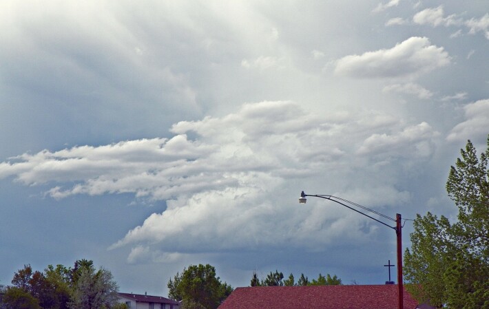
This first image is of a storm that passed just to the north of us. It was still developing at this point and was storm-warned (severe thunderstorm) shortly after it passed east. Storms like this tend to have dangerous lightning, hail and sometimes even a tornado.
Storm approaches us!
Crashing, raining, hailing, boom!
Thunder passes by.
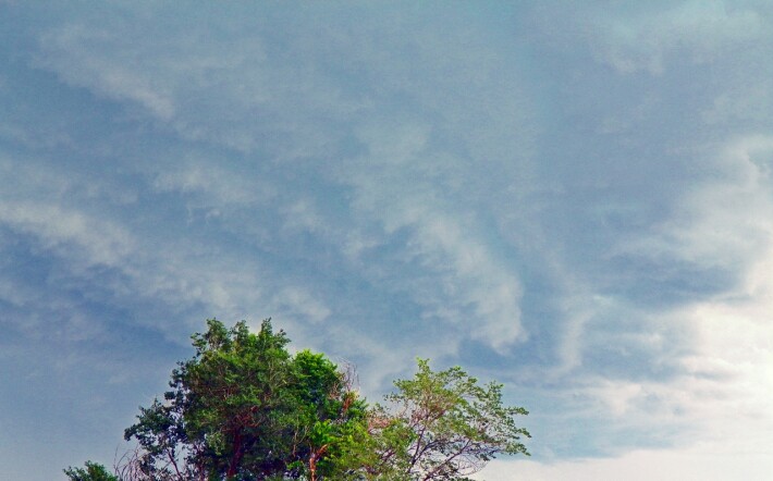
This storm was in mid-May last year (it might have been the same day as the Laramie storm, actually.) It passed to the northwest of us, going a strong northeasterly direction. (Interesting - because as I post this we are expecting possible severe storms again today.)
You could really see some of the parts of the storm, though the anvil had spread enough to hide a lot of what was going on. The outflow is very clear on this one - the pointy part going off to the left. That's where the moisture/wind is going. This is a very well-developed storm. I don't remember if this one was storm-warned or not, but we had a few that day and there were more where that one came from!
Storm train develops
One after another fly
Crazy afternoon!
Photos ©2018 Lori Svensen at VikingVisual
Previously posted at: Whaleshares, WeKu and Steemit
Today crossposted on: Hyperspace and Publish0x.
Lori Svensen
author/designer at A'mara Books
photographer/graphic artist for Viking Visual
verified author on Goodreads
find me on Twitter
blogging on: Steem, Whaleshares, WeKu, Hyperspace, Publish0x